Share and organise

Posters, flyers, links — open for community use

Use these materials to help stop routine food-delivery drone routes over residential communities. Share them with neighbours, residents’ groups, councillors, TDs, local media and anyone affected by drone delivery routes.

Posters & banners

For phone users, prioritise shareable links and copy buttons over QR codes — QR codes are useful for print, not for someone already holding a phone.
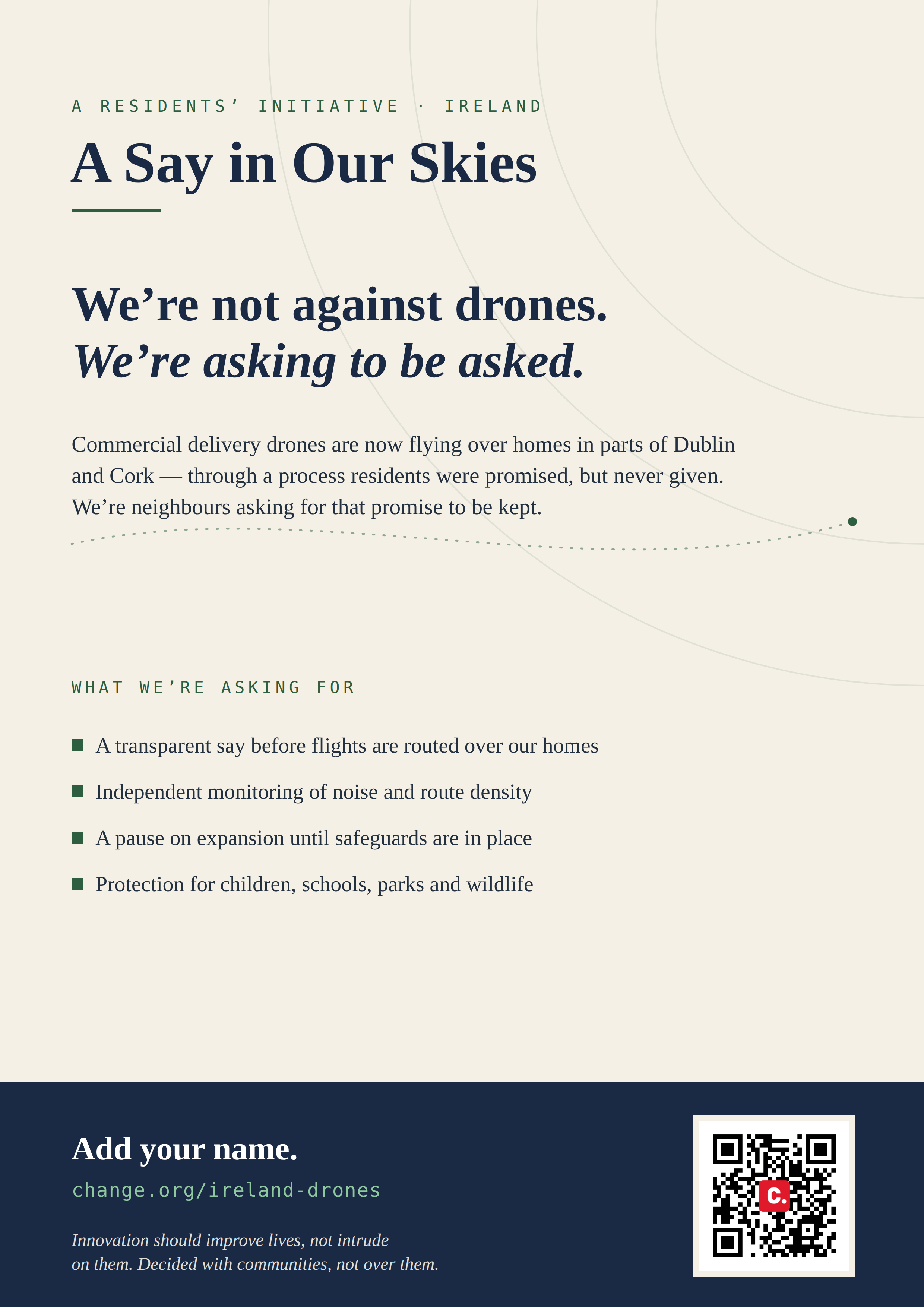
Poster — Our Skies Our Say: homes are not delivery corridors

Poster — print & photocopy

High-contrast and built to survive black-and-white photocopying — the one for mass noticeboard and letterbox runs. Headline, what we're asking for, and the petition QR. Scales cleanly from A4 to A3.
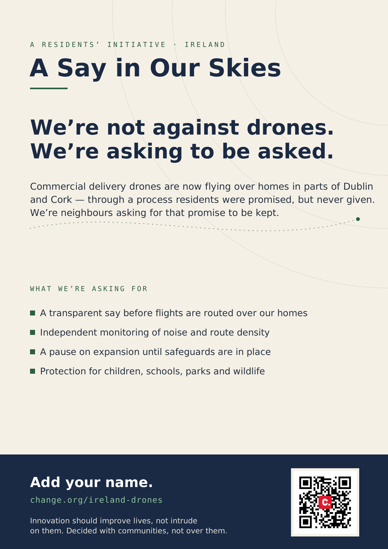
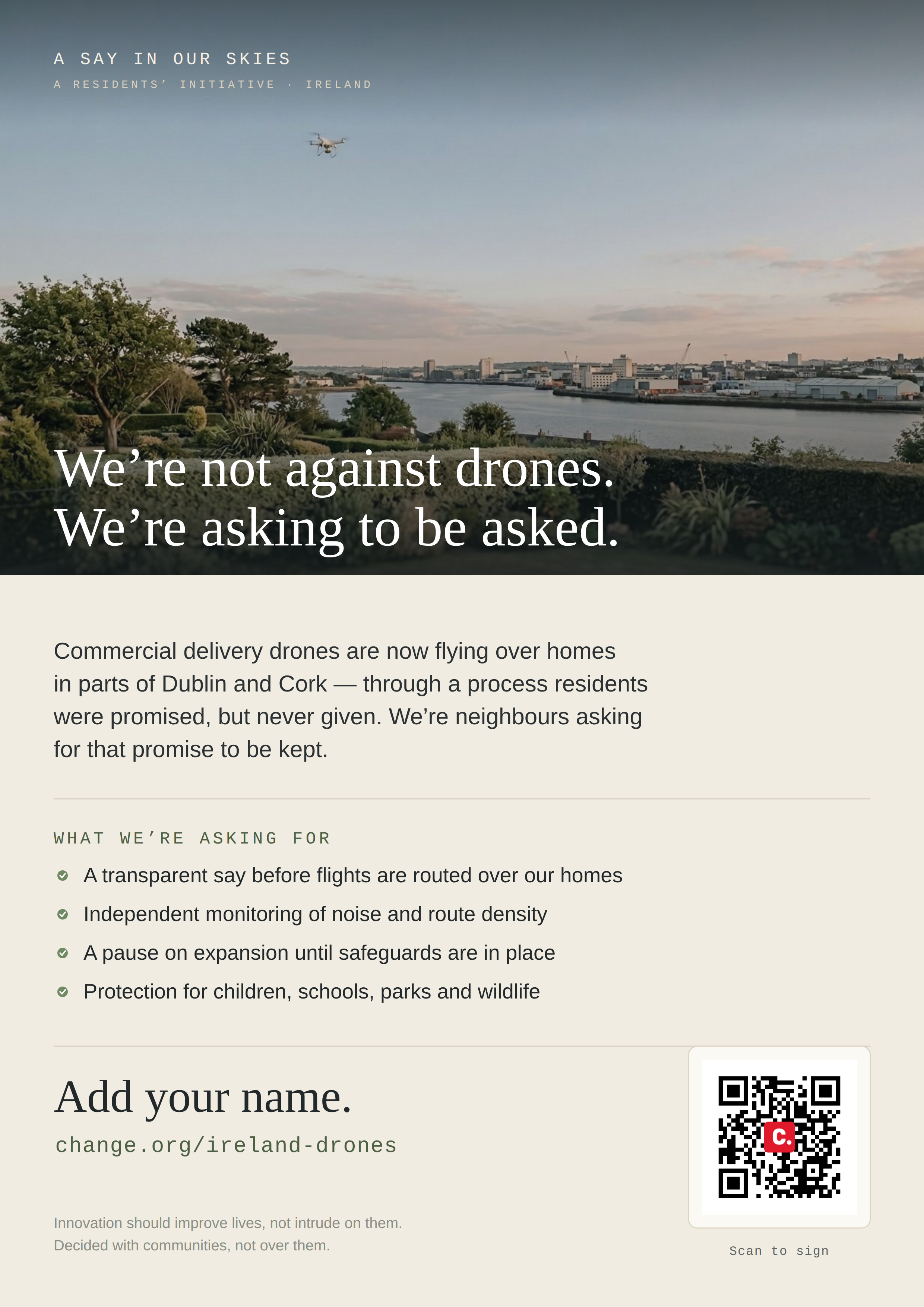
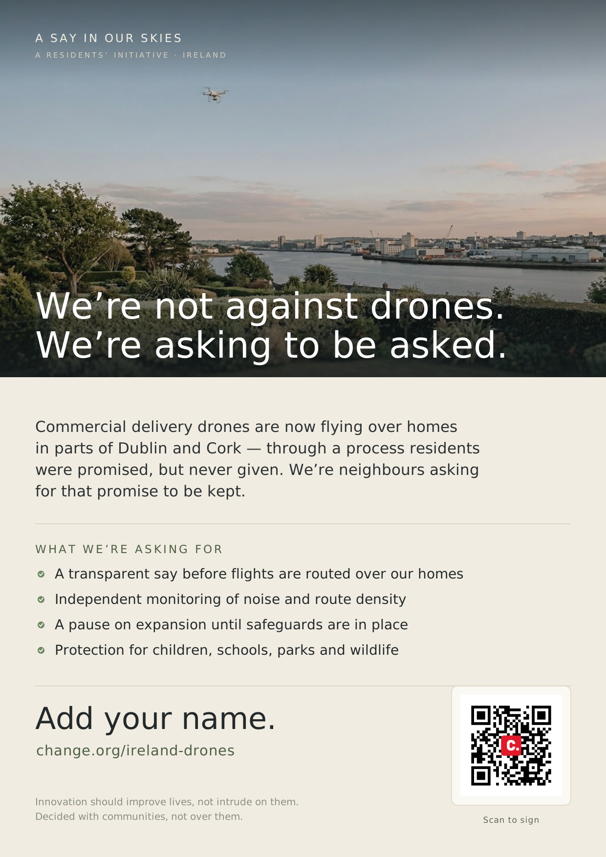
Photo poster — Our Skies Our Say: a delivery drone over the River Lee and a Cork garden, headed homes are not delivery corridors

Poster — display (colour)

The same message over the River Lee at dusk — the stopping-power piece for a shop window or a single colour print. Scales A4 to A3. For black-and-white photocopying, use the print poster.
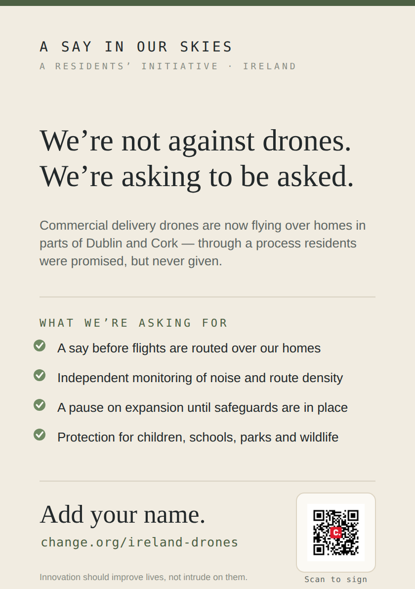
A5 flyer — Our Skies Our Say, for letterboxes and handouts

Flyer — A5 handbill

A half-page version for letterbox drops and handouts. The two-up PDF prints two flyers on one A4 sheet — run them off at home and cut down the middle.
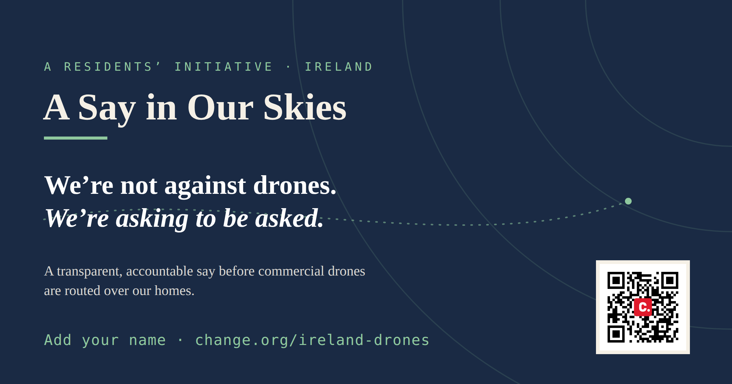
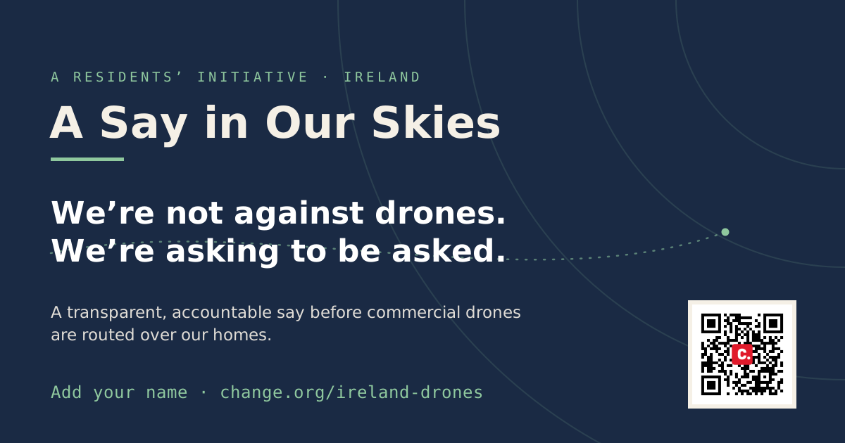
Social banner (flat) — Our Skies Our Say

Social banner — flat

Wide card (1200×630) with crisp text that stays legible at small sizes — the site’s default link-preview and email-footer image.
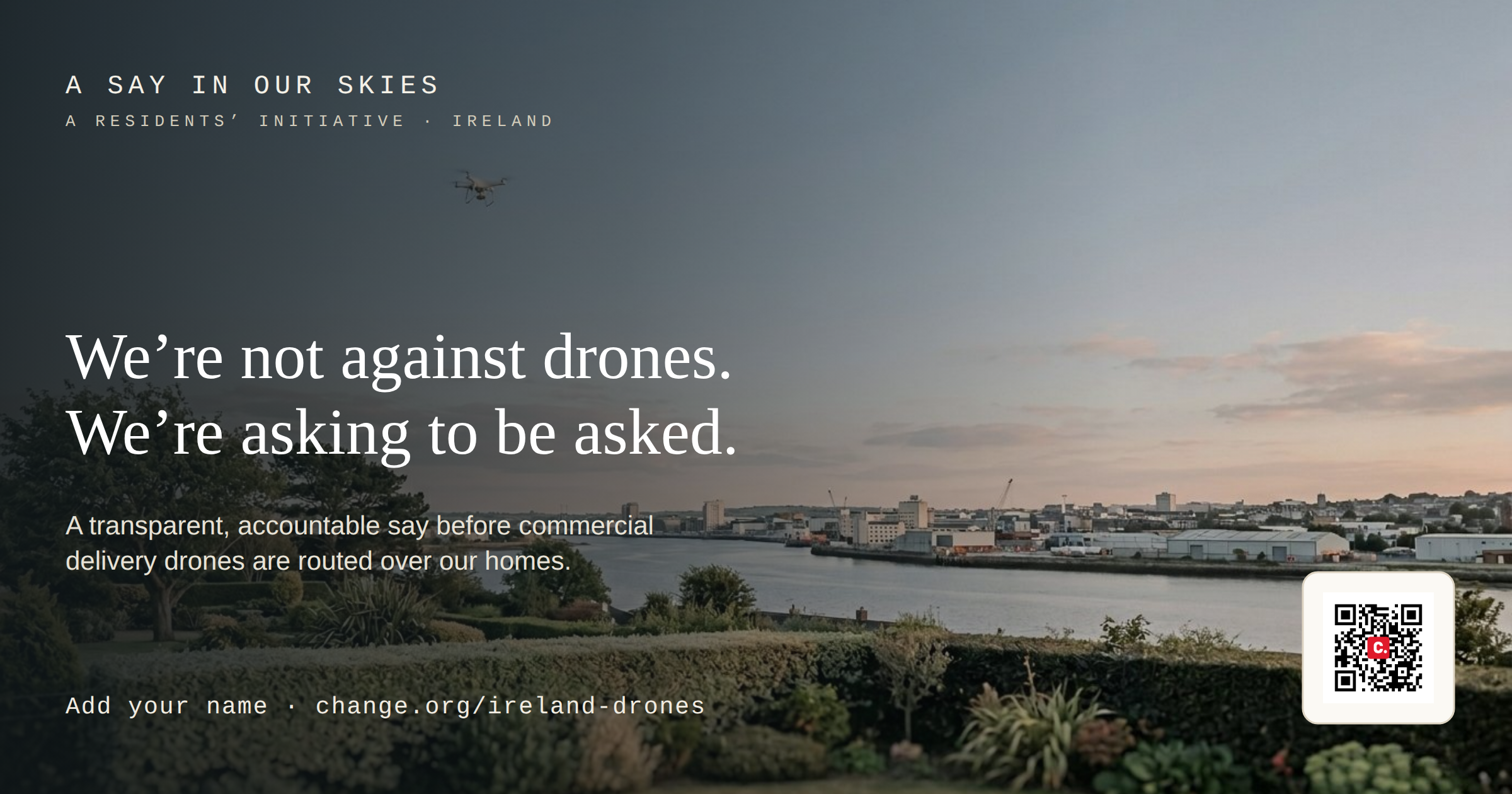
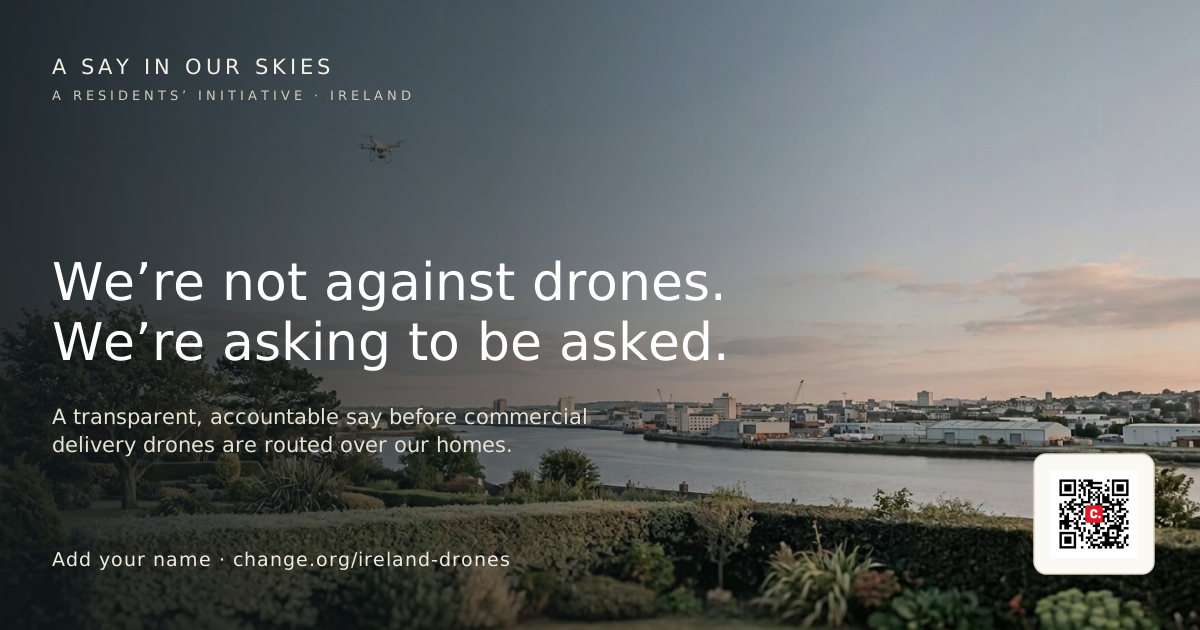
Social banner (photo) — a delivery drone over the River Lee, headed homes are not delivery corridors

Social banner — photo

The River Lee crop at 1200×630 — for posts and headers shown large, where a photo stops the scroll. Use the flat banner for link previews and thumbnails.

QR code linking to the change.org petition

Petition QR code

For posters, flyers, leaflets and stickers. Links directly to the change.org petition.

Download PNG

Explainers

One delivery, many homes

How far the noise from a single delivery carries — a modelled single-delivery impact report.

Open the report

How visible is it overhead?

A naked-eye estimate of how easily you can see the drone at 50–80 m, scaled against the full moon.

Open the note

Birds, bats & the law

What the peer-reviewed evidence says about low overflight and wildlife — and where it's silent. With the legal frame.

Open the brief

Tools

Map the corridor over your home — DronePath

Enter an address to see the modelled flight corridor: how many homes a single delivery passes over, and how loud it is at ground level, calibrated to the Trinity College Dublin measurements — the reach of a single order, made visible.

Open DronePath

Source documents

The two State documents that set out what was promised and the timeline. Read them yourself — the contradiction with current practice is plain on the page.

National Policy Framework for UAS

The strategic framework. Sets out the policy positions and the 16 actions, including the requirement for a transparent zone designation process.

Open PDF (gov.ie)

Implementation Action Plan 2026

The delivery timeline. Confirms in writing that zones are being reviewed "ahead of the establishment of the National Working Group."

Open PDF (gov.ie)

Templates

Letter to TDs

Copy or download a personalised letter for your TDs and the Minister for Transport.

Open template

Planning objection

The Cork City template structure — adapt for your local authority and application reference.

Open template
Stop routine food-delivery drone flights over residential communities.

These materials are free to use, share and reproduce for non-commercial community use.

Further reading & coverage

Independent reporting and the public record, gathered in one place. We link the originals so you can read them yourself rather than take our word for it.

Links open on the publishers’ own sites. Know a source we should add — a planning file, a study, a local report? Tell us and we’ll include it.

Take actionReport impactContact